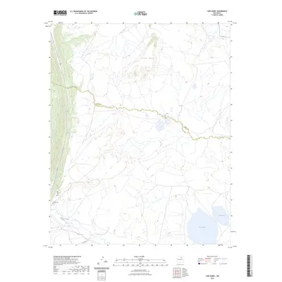
2023 Map of Lake Isabel
USGS Topo · Published 2023About this map
Arroyo Jara snakes across the high terrain of northern New Mexico, serving as a natural boundary between Mora and San Miguel counties. This landscape is defined by the prominent Riner Mesa to the north and the Sapello River flowing through the southern reaches. The area retains deep historical roots, evidenced by the proximity of the Old Sapello Cemetery and the Sapello Cemetery along the western foothills. The presence of these two burial grounds suggest a long-established community that has evolved over generations near the water sources of Lake Isabel and Lake David. The cartography illustrates a transition from the elevated mesa down to the more level plains where local routes like Allen Road connect the scattered points of interest in this cattle and ranching country.
Find a feature on this map
9 named features on this map. Tap any name to fly to it.
Don’t see what you’re looking for? This feature index may not catch every label — zoom into the map to look around manually.
Map Details
Editions of this 2023 Lake Isabel Map
This is the sole edition of this map. No revisions or reprints were ever made.
Other maps of this area

1889 · Las Vegas
USGS Topo · 1:125,000

1891 · Las Vegas
USGS Topo · 1:125,000

1893 · Las Vegas
USGS Topo · 1:125,000

1954 · Santa Fe
USGS Topo · 1:250,000

1958 · Santa Fe
USGS Topo · 1:250,000

1961 · Montezuma
USGS Topo · 1:24,000

1963 · Lake Isabel
USGS Topo · 1:24,000

1963 · Fort Union
USGS Topo · 1:24,000

1963 · Rainsville
USGS Topo · 1:24,000
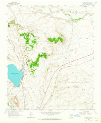
1963 · Las Vegas NW
USGS Topo · 1:24,000