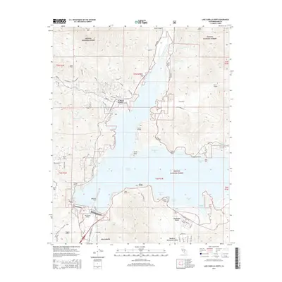
2015 Map of Lake Isabella North
USGS Topo · Published 2015About this map
Isabella Lake dominates this mid-2010s survey, illustrating the complex relationship between modern development and the surrounding Sequoia National Forest. The map details the residential clusters of Wofford Heights, Sierra Nevada, and Mountain Mesa along the western and southern shores, where localized road networks like Wofford Heights Blvd and Sierra Way connect shoreline points such as Pioneer Point and Engineer Point. The topography rises sharply from the reservoir to prominent peaks including Cane Peak and Split Mtn.
Find a feature on this map
91 named features on this map. Tap any name to fly to it.
Don’t see what you’re looking for? This feature index may not catch every label — zoom into the map to look around manually.
Map Details
Editions of this 2015 Lake Isabella North Map
This is the sole edition of this map. No revisions or reprints were ever made.
Other maps of this area

1906 · Kernville
USGS Topo · 1:125,000

1908 · Kernville
USGS Topo · 1:125,000

1920 · Delonagha
USGS Topo · 1:62,500

1926 · Glennville
USGS Topo · 1:62,500

1936 · Tobias Peak
USGS Topo · 1:125,000

1943 · Tobias Peak
USGS Topo · 1:125,000

1943 · Isabella
USGS Topo · 1:62,500

1945 · Tobias Peak
USGS Topo · 1:62,500

1948 · Bakersfield
USGS Topo · 1:250,000

1955 · Bakersfield
USGS Topo · 1:250,000