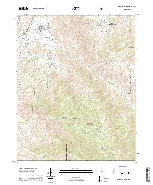
2021 Map of Lake Isabella South
USGS Topo · Published 2021About this map
Bodfish and Squirrel Mountain Valley occupy the northwestern corner of this study, positioned where the Kern River flows through Hot Spring Valley. The landscape quickly transitions into the high elevations of the Sierra Nevada and the Piute Mountains, much of which is protected within the Sequoia National Forest. Named landmarks like Bald Eagle Peak, Bodfish Peak, and King Solomons Ridge define the ridgelines, while numerous drainages such as Bodfish Cr and Erskine Cr carve out deep canyons.
Find a feature on this map
74 named features on this map. Tap any name to fly to it.
Don’t see what you’re looking for? This feature index may not catch every label — zoom into the map to look around manually.
Map Details
Editions of this 2021 Lake Isabella South Map
This is the sole edition of this map. No revisions or reprints were ever made.
Other maps of this area

1906 · Kernville
USGS Topo · 1:125,000

1908 · Kernville
USGS Topo · 1:125,000

1914 · Caliente
USGS Topo · 1:125,000

1915 · Mojave
USGS Topo · 1:125,000

1920 · Delonagha
USGS Topo · 1:62,500

1926 · Glennville
USGS Topo · 1:62,500

1936 · Tobias Peak
USGS Topo · 1:125,000

1943 · Emerald Mtn
USGS Topo · 1:62,500

1943 · Breckenridge Mountain
USGS Topo · 1:62,500

1943 · Tobias Peak
USGS Topo · 1:125,000