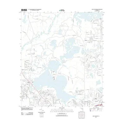
2012 Map of Lake Jackson
USGS Topo · Published 2012About this map
Lake Jackson and the winding Ochlockonee River define the landscape north of Florida's capital in the early 2010s. This survey illustrates the residential expansion and conservation areas surrounding the region's prominent lakes, including Lake Iamonia and Lake Overstreet. For genealogists and local historians, the presence of Moore Cem and Memory Gardens Cem provides essential landmarks for family research in Leon County.
Find a feature on this map
193 named features on this map. Tap any name to fly to it.
Don’t see what you’re looking for? This feature index may not catch every label — zoom into the map to look around manually.
Map Details
Editions of this 2012 Lake Jackson Map
This is the sole edition of this map. No revisions or reprints were ever made.
Other maps of this area

1940 · Tallahassee
USGS Topo · 1:62,500

1942 · Tallahassee
USGS Topo · 1:62,500

1943 · Tallahassee
USGS Topo · 1:62,500

1954 · Lafayette
USGS Topo · 1:24,000

1954 · Tallahassee
USGS Topo · 1:250,000

1956 · Havana North
USGS Topo · 1:24,000

1956 · Calvary
USGS Topo · 1:24,000

1957 · Beachton
USGS Topo · 1:24,000

1959 · Tallahassee
USGS Topo · 1:250,000

1960 · Tallahassee
USGS Topo · 1:250,000