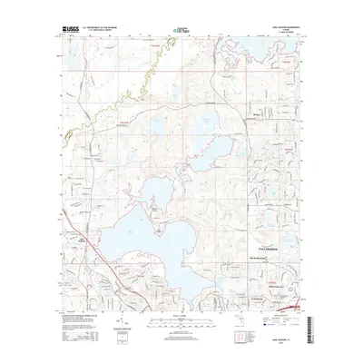
2015 Map of Lake Jackson
USGS Topo · Published 2015About this map
Lake Jackson and the northern outskirts of Tallahassee dominate this landscape, revealing a transition from dense suburban residential developments to the preserved wetlands and lakes characteristic of the Red Hills region. The map captures established neighborhoods like Oak Knoll Estates and Bridle Path Acres alongside large tracts of undeveloped land and seasonal water bodies. The presence of Memory Gardens Cem and Meadowwood Memorial Park provides specific points of interest for genealogical research in Leon County.
Find a feature on this map
79 named features on this map. Tap any name to fly to it.
Don’t see what you’re looking for? This feature index may not catch every label — zoom into the map to look around manually.
Map Details
Editions of this 2015 Lake Jackson Map
This is the sole edition of this map. No revisions or reprints were ever made.
Other maps of this area

1940 · Tallahassee
USGS Topo · 1:62,500

1942 · Tallahassee
USGS Topo · 1:62,500

1943 · Tallahassee
USGS Topo · 1:62,500

1954 · Lafayette
USGS Topo · 1:24,000

1954 · Tallahassee
USGS Topo · 1:250,000

1956 · Havana North
USGS Topo · 1:24,000

1956 · Calvary
USGS Topo · 1:24,000

1957 · Beachton
USGS Topo · 1:24,000

1959 · Tallahassee
USGS Topo · 1:250,000

1960 · Tallahassee
USGS Topo · 1:250,000