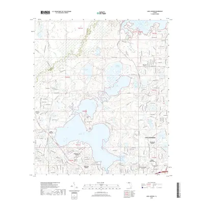
2018 Map of Lake Jackson
USGS Topo · Published 2018About this map
The Ochlockonee River forms a portion of the western boundary between Gadsden and Leon Counties, framing a landscape defined by the expansive waters of Lake Jackson. This 2018 survey reveals a suburban-rural mosaic where established northern neighborhoods like Harbinwood Estates and Bellwood Estates meet the agricultural and wooded lands of the Florida Panhandle. Significant water bodies such as Carr Lake, Orchard Pond, and Lake Iamonia dominate the northern terrain, separated by narrow ridges and family-named points like Rollins Point. Local history and genealogy are anchored by landmarks like Moore Cem and the Tallahassee Memory Gardens Cem, while the Tallahassee Commercial Airport serves as a modern transportation hub just west of the sprawling lake. The map also captures the layout of smaller communities like Blocker and El Destinado, reflecting the northward growth from the state capital into the surrounding pond-and-hill country.
Find a feature on this map
197 named features on this map. Tap any name to fly to it.
Don’t see what you’re looking for? This feature index may not catch every label — zoom into the map to look around manually.
Map Details
Editions of this 2018 Lake Jackson Map
This is the sole edition of this map. No revisions or reprints were ever made.
Other maps of this area

1940 · Tallahassee
USGS Topo · 1:62,500

1942 · Tallahassee
USGS Topo · 1:62,500

1943 · Tallahassee
USGS Topo · 1:62,500

1954 · Lafayette
USGS Topo · 1:24,000

1954 · Tallahassee
USGS Topo · 1:250,000

1956 · Havana North
USGS Topo · 1:24,000

1956 · Calvary
USGS Topo · 1:24,000

1957 · Beachton
USGS Topo · 1:24,000

1959 · Tallahassee
USGS Topo · 1:250,000

1960 · Tallahassee
USGS Topo · 1:250,000