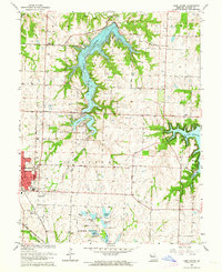
1963 Map of Lake Jacomo
USGS Topo · Published 1964About this map
Lake Jacomo and Prairie Lee Lake dominate this 1963 landscape, reflecting the post-war development of managed water resources in Jackson County. The map details a transition from the developing residential edges of Lees Summit to the east, where the Sni-A-Bar and Prairie regions maintain a more rural character. To the south, the James A Reed Memorial Wildlife Area is intricately mapped with a cluster of smaller water bodies including Plover Lake, Jackrabbit Lake, and Catclaw Lake, each noted with specific spillway elevations. The transportation network is defined by the Missouri Pacific and Chicago Rock Island and Pacific railroads, which intersect near the town center. Local history is anchored by established landmarks such as Woods Chapel Cem, St Marys Sch, and the Mason Sch, alongside several rural churches that served these growing communities.
Find a feature on this map
46 named features on this map. Tap any name to fly to it.
Don’t see what you’re looking for? This feature index may not catch every label — zoom into the map to look around manually.
Map Details
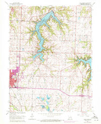
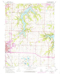
Editions of this 1963 Lake Jacomo Map
3 editions found
Other maps of this area

1887 · Harrisonville
USGS Topo · 1:125,000

1892 · Harrisonville
USGS Topo · 1:125,000

1894 · Harrisonville
USGS Topo · 1:125,000

1894 · Independence
USGS Topo · 1:125,000

1933 · Blue Springs
USGS Topo · 1:24,000

1934 · Oak Grove
USGS Topo · 1:24,000

1934 · Independence
USGS Topo · 1:24,000

1934 · Lees Summit
USGS Topo · 1:24,000

1934 · Woods Chapel
USGS Topo · 1:24,000

1935 · Tarsney
USGS Topo · 1:24,000