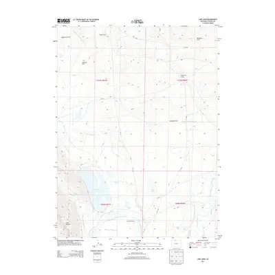
2013 Map of Lake John
USGS Topo · Published 2013About this map
Lake John and the surrounding high-altitude basin define this Jackson County landscape, where water management is central to the area's ranching heritage. The map documents an intricate network of irrigation systems, including the Bighorn Cattle Company Ditch and the Hanson and Wattenberg Ditch, which redirect water across the terrain to support local livestock operations like the Wattenberg Ranch. The geography is shaped by numerous seasonal watercourses and depressions such as Lawrence Draw and California Gulch, all draining toward the N Fork N Platte River. To the southwest, the steep rise of Sheep Mountain provides a sharp contrast to the basin floor. This 2013 survey serves as a precise record of the man-made infrastructure required to sustain agriculture in this arid region, showing how property lines and roads like Co RD-7 follow the geometric grid of the Public Land Survey System.
Find a feature on this map
36 named features on this map. Tap any name to fly to it.
Don’t see what you’re looking for? This feature index may not catch every label — zoom into the map to look around manually.
Map Details
Editions of this 2013 Lake John Map
This is the sole edition of this map. No revisions or reprints were ever made.
Other maps of this area

1911 · Hahns Peak
USGS Topo · 1:125,000

1913 · Hahns Peak
USGS Topo · 1:125,000

1950 · Northgate
USGS Topo · 1:24,000

1952 · Northgate
USGS Topo · 1:24,000

1954 · Craig
USGS Topo · 1:250,000

1955 · Independence Mountain
USGS Topo · 1:24,000

1955 · Lake John
USGS Topo · 1:24,000

1955 · Pitchpine Mountain
USGS Topo · 1:24,000

1955 · Delaney Butte
USGS Topo · 1:24,000

1955 · Pearl
USGS Topo · 1:24,000