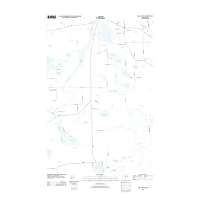
2013 Map of Lake Julia
USGS Topo · Published 2013About this map
Nicolet College sits on the eastern shore of Lake Julia, a central point in this lake-strewn landscape just south of the Pelican River. The 2013 survey of this Oneida County region reveals a dense network of water bodies, including Hat Rapids Flowage on the Wisconsin River and family-named landmarks like Landberg Lake and De Marce Lake. The settlement at Jeffris in the south and the rural junction of Crescent Corner to the west serve as anchors for the local road system, which includes Us-8 and Wi-17.
Find a feature on this map
92 named features on this map. Tap any name to fly to it.
Don’t see what you’re looking for? This feature index may not catch every label — zoom into the map to look around manually.
Map Details
Editions of this 2013 Lake Julia Map
This is the sole edition of this map. No revisions or reprints were ever made.
Other maps of this area

1939 · Cassian
USGS Topo · 1:48,000

1940 · Parrish
USGS Topo · 1:48,000

1940 · Rhinelander
USGS Topo · 1:48,000

1942 · Cassian
USGS Topo · 1:48,000

1949 · Rhinelander
USGS Topo · 1:48,000

1950 · Parrish
USGS Topo · 1:48,000

1950 · Tomahawk
USGS Topo · 1:48,000

1952 · Parrish
USGS Topo · 1:48,000

1952 · Tomahawk
USGS Topo · 1:48,000

1954 · Iron Mountain
USGS Topo · 1:250,000