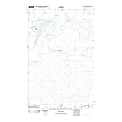
2011 Map of Lake Kapowsin
USGS Topo · Published 2011About this map
Lake Kapowsin and its surrounding watershed dominate this Pierce County landscape, reflecting a region defined by water management and rural settlement. The community of Kapowsin sits at the northern edge of the lake, while the settlement of Electron to the east highlights the area's industrial ties to the Puyallup River. Infrastructure for water control is prominent, including the Electron Reservoir Dam and the Lindstrom Dam Number One near Twin Lakes.
Find a feature on this map
42 named features on this map. Tap any name to fly to it.
Don’t see what you’re looking for? This feature index may not catch every label — zoom into the map to look around manually.
Map Details
Editions of this 2011 Lake Kapowsin Map
This is the sole edition of this map. No revisions or reprints were ever made.
Other maps of this area

1897 · Tacoma
USGS Topo · 1:125,000

1900 · Tacoma
USGS Topo · 1:125,000

1937 · Eatonville
USGS Topo · 1:125,000

1941 · Tanwax Lake
USGS Topo · 1:62,500

1941 · Tacoma South
USGS Topo · 1:62,500

1942 · Lake Tapps
USGS Topo · 1:62,500

1944 · Lake Tapps
USGS Topo · 1:62,500

1944 · Tacoma South
USGS Topo · 1:62,500

1944 · Ohop Valley
USGS Topo · 1:62,500

1949 · Ohop Valley
USGS Topo · 1:62,500