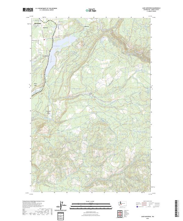
2023 Map of Lake Kapowsin
USGS Topo · Published 2023About this map
Lake Kapowsin dominates the landscape south of Kapowsin, serving as a central geographic anchor for this part of Pierce County. The topography is defined by the steep descent toward the Puyallup River and the complex water-management infrastructure supporting local power generation, including the Electron Reservoir and the Electron Flume. These features, along with the Electron settlement, indicate the area's long-standing connection to hydroelectric development and timber harvesting, the latter evidenced by the winding path of the Champion Lumber Rd.
Find a feature on this map
53 named features on this map. Tap any name to fly to it.
Don’t see what you’re looking for? This feature index may not catch every label — zoom into the map to look around manually.
Map Details
Editions of this 2023 Lake Kapowsin Map
This is the sole edition of this map. No revisions or reprints were ever made.
Other maps of this area

1897 · Tacoma
USGS Topo · 1:125,000

1900 · Tacoma
USGS Topo · 1:125,000

1937 · Eatonville
USGS Topo · 1:125,000

1941 · Tanwax Lake
USGS Topo · 1:62,500

1941 · Tacoma South
USGS Topo · 1:62,500

1942 · Lake Tapps
USGS Topo · 1:62,500

1944 · Lake Tapps
USGS Topo · 1:62,500

1944 · Tacoma South
USGS Topo · 1:62,500

1944 · Ohop Valley
USGS Topo · 1:62,500

1949 · Ohop Valley
USGS Topo · 1:62,500