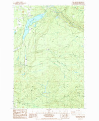
1987 Map of Lake Kapowsin
USGS Topo · Published 1987About this map
Lake Kapowsin dominates this portion of Pierce County, serving as a focal point for the small settlements of Kapowsin and Electron. The landscape is defined by its industrial and hydraulic infrastructure, featuring a Powerhouse, Substation, and the Electron Reservoir which manages water for the region. The Puyallup River carves through the eastern portion of the terrain, fed by a network of drainage systems including Twentyfive Mile Creek and Ohop Creek.
Find a feature on this map
29 named features on this map. Tap any name to fly to it.
Don’t see what you’re looking for? This feature index may not catch every label — zoom into the map to look around manually.
Map Details
Editions of this 1987 Lake Kapowsin Map
2 editions found
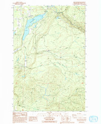
Other maps of this area

1897 · Tacoma
USGS Topo · 1:125,000

1900 · Tacoma
USGS Topo · 1:125,000

1937 · Eatonville
USGS Topo · 1:125,000

1941 · Tanwax Lake
USGS Topo · 1:62,500

1941 · Tacoma South
USGS Topo · 1:62,500

1942 · Lake Tapps
USGS Topo · 1:62,500

1944 · Lake Tapps
USGS Topo · 1:62,500

1944 · Tacoma South
USGS Topo · 1:62,500

1944 · Ohop Valley
USGS Topo · 1:62,500

1949 · Ohop Valley
USGS Topo · 1:62,500