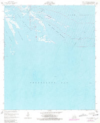
1956 Map of Lake La Graisse
USGS Topo · Published 1981About this map
Terrebonne Bay dominates this coastal survey, where the intricate network of salt marshes and open water illustrates the volatile geography of the Louisiana shoreline. The map captures a landscape defined by movement and transition, from the narrow Seabreeze Pass to the broader expanse of Lake La Graisse. The presence of a Pipeline, a Platform, and an Oil Well signals the early industrial footprint of the petroleum industry within these wetlands during the mid-20th century. Waterways like Bayou Terrebonne and Pass Barre provide the primary structure for navigation through a maze of named features including Lake Saint Jean Baptiste and Bay Lost Reef, reflecting the region's historical reliance on waterborne travel and marine resources.
Find a feature on this map
17 named features on this map. Tap any name to fly to it.
Don’t see what you’re looking for? This feature index may not catch every label — zoom into the map to look around manually.
Map Details
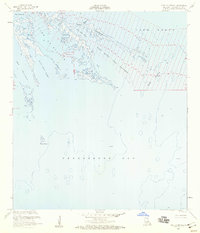
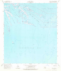
Editions of this 1956 Lake La Graisse Map
3 editions found
Other maps of this area

1894 · Timbalier
USGS Topo · 1:62,500

1894 · Lake Felicity
USGS Topo · 1:62,500

1894 · Dulac
USGS Topo · 1:62,500

1935 · Cocodrie
USGS Topo · 1:31,680

1935 · Bourbeux
USGS Topo · 1:31,680

1935 · Timbalier Island
USGS Topo · 1:31,680

1935 · Lake Quitman
USGS Topo · 1:31,680

1939 · Lake Felicity
USGS Topo · 1:62,500

1941 · Lake Felicity
USGS Topo · 1:62,500

1941 · Dulac
USGS Topo · 1:62,500