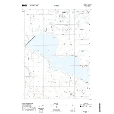
2020 Map of Lake Lowell
USGS Topo · Published 2020About this map
Lake Lowell dominates this Canyon County landscape, serving as the central hub for an intricate web of irrigation infrastructure between Nampa and Caldwell. The map documents a highly managed hydrological system, featuring a complex network of delivery channels and drainage lines such as the Phyllis Canal, Deer Flat High Line Canal, and Deer Flat Low Line Canal. These waterways define the agricultural boundaries of the region, interspersed with local landmarks like the Hillcrest Memorial Gardens and the community at Underkoflers Corner.
Find a feature on this map
119 named features on this map. Tap any name to fly to it.
Don’t see what you’re looking for? This feature index may not catch every label — zoom into the map to look around manually.
Map Details
Editions of this 2020 Lake Lowell Map
This is the sole edition of this map. No revisions or reprints were ever made.
Other maps of this area

1892 · Silver City
USGS Topo · 1:125,000

1894 · Silver City
USGS Topo · 1:125,000

1898 · Nampa
USGS Topo · 1:125,000

1898 · Silver City
USGS Topo · 1:125,000

1955 · Boise
USGS Topo · 1:250,000

1957 · Opalene Gulch
USGS Topo · 1:24,000

1957 · Sands Basin
USGS Topo · 1:62,500

1957 · Notus
USGS Topo · 1:24,000

1958 · Boise
USGS Topo · 1:250,000
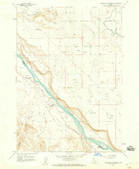
1958 · Givens Hot Springs
USGS Topo · 1:24,000