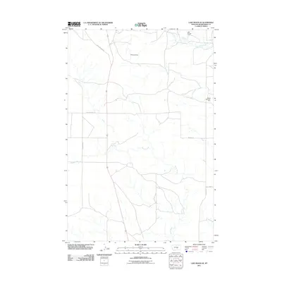
2011 Map of Lake Mason SE
USGS Topo · Published 2011About this map
Willow Creek and its tributary North Willow Creek define the drainage patterns of this Musselshell County landscape, where water management is central to the local economy. The presence of several impoundments, such as Sheepland Dam, Oset Number 1 Dam, and the Skunk Retention Dam, highlights the essential infrastructure required for livestock and agriculture in this semi-arid region.
Find a feature on this map
11 named features on this map. Tap any name to fly to it.
Don’t see what you’re looking for? This feature index may not catch every label — zoom into the map to look around manually.
Map Details
Editions of this 2011 Lake Mason SE Map
This is the sole edition of this map. No revisions or reprints were ever made.
Other maps of this area

1954 · Roundup
USGS Topo · 1:250,000

1958 · Roundup
USGS Topo · 1:250,000

1979 · Roundup
USGS Topo · 1:100,000

1979 · Horsethief Creek
USGS Topo · 1:24,000

1979 · Gage
USGS Topo · 1:24,000

1979 · Roundup
USGS Topo · 1:24,000

1986 · Lake Mason SE
USGS Topo · 1:24,000

1986 · Lake Mason NE
USGS Topo · 1:24,000

1986 · Lake Mason NW
USGS Topo · 1:24,000

1986 · Big Wall West
USGS Topo · 1:24,000