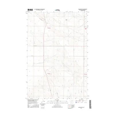
2017 Map of Lake Mason SE
USGS Topo · Published 2017About this map
Devils Basin sits at the heart of this landscape in Musselshell County, defined by a sparse network of ranch roads and ephemeral watercourses. This 2017 survey by the U.S. Geological Survey shows a rural Montana interior where land management is delineated by the Public Land Survey System, including t10n r25e and t9n r26e. The drainage of Willow Cr and N Willow Cr creates the primary topographic relief across these sections. The presence of routes like Snowy Mountain Rd and Big Wall Rd reflects the enduring reliance on a grid-based transportation network for accessing grazing lands and remote homesteads. Genealogists and historians can trace family land ties through the sectional divisions and named local thoroughfares such as Hochmuth Rd and Alec Roy Rd.
Find a feature on this map
14 named features on this map. Tap any name to fly to it.
Don’t see what you’re looking for? This feature index may not catch every label — zoom into the map to look around manually.
Map Details
Editions of this 2017 Lake Mason SE Map
This is the sole edition of this map. No revisions or reprints were ever made.
Other maps of this area

1954 · Roundup
USGS Topo · 1:250,000

1958 · Roundup
USGS Topo · 1:250,000

1979 · Roundup
USGS Topo · 1:100,000

1979 · Horsethief Creek
USGS Topo · 1:24,000

1979 · Gage
USGS Topo · 1:24,000

1979 · Roundup
USGS Topo · 1:24,000

1986 · Lake Mason SE
USGS Topo · 1:24,000

1986 · Lake Mason NE
USGS Topo · 1:24,000

1986 · Lake Mason NW
USGS Topo · 1:24,000

1986 · Big Wall West
USGS Topo · 1:24,000