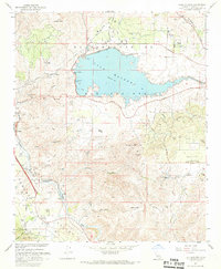
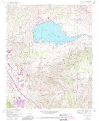
1967 Map of Lake Mathews
USGS Topo · Published 1969About this map
Lake Mathews dominates this high-desert landscape, serving as a critical reservoir at the terminus of the Colorado River Aqueduct. The reservoir is bounded by Mathews Dam and a series of dikes, significantly altering the hydrology of the surrounding El Sobrante de San Jacinto land grant. Along the southwestern corridor, the Atchison Topeka and Santa Fe railroad tracks follow the course of Temescal Wash, passing through small settlements like Weisel and Olsen.
Find a feature on this map
43 named features on this map. Tap any name to fly to it.
Don’t see what you’re looking for? This feature index may not catch every label — zoom into the map to look around manually.
Map Details
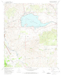
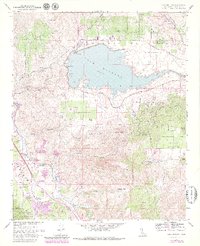
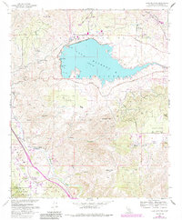
Editions of this 1967 Lake Mathews Map
5 editions found
Other maps of this area

1901 · Southern California Sheet No. 1
USGS Topo · 1:250,000

1901 · Elsinore
USGS Topo · 1:125,000

1901 · Riverside
USGS Topo · 1:62,500

1902 · Corona
USGS Topo · 1:125,000

1904 · Southern California Sheet No. 1
USGS Topo · 1:250,000

1942 · Lake Elsinore
USGS Topo · 1:62,500
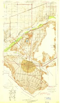
1942 · Corona and Vicinity
USGS Topo · 1:31,680
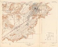
1942 · Riverside and Vicinity
USGS Topo · 1:31,680

1942 · Santiago Peak
USGS Topo · 1:62,500

1942 · Corona
USGS Topo · 1:62,500