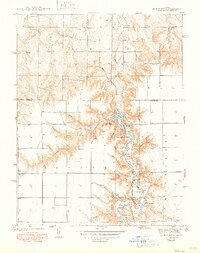
1942 Map of Lake Mc Bride
USGS Topo · Published 1949About this map
El Quartelejo Pueblo Ruins Monument serves as the focal point of this 1939 survey, situated within the boundaries of Scott County State Park. The landscape is defined by the sharp transition from high plains to deep drainage canyons, where Ladder Creek feeds into Lake McBride and continues south through Christy Lake. The mapping reveals a rural community supported by local education, evidenced by the distribution of Glendale Sch, Prairie View Sch, and State Park Sch.
Find a feature on this map
30 named features on this map. Tap any name to fly to it.
Don’t see what you’re looking for? This feature index may not catch every label — zoom into the map to look around manually.
Map Details
Editions of this 1942 Lake Mc Bride Map
5 editions found
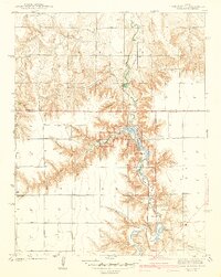
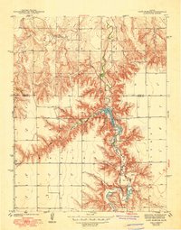
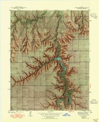
Other maps of this area

1939 · Lake Mc Bride
USGS Topo · 1:24,000

1939 · Sandon
USGS Topo · 1:62,500

1939 · Pence
USGS Topo · 1:62,500

1941 · Pence
USGS Topo · 1:62,500

1942 · Sandon
USGS Topo · 1:62,500

1942 · Lake Mc Bride
USGS Topo · 1:31,680

1955 · Scott City
USGS Topo · 1:250,000

1958 · Scott City
USGS Topo · 1:250,000

1974 · Elkader SW
USGS Topo · 1:24,000

1974 · Elkader
USGS Topo · 1:24,000