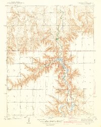
1942 Map of Lake McBride
USGS Topo · Published 1942About this map
Scott County State Park serves as the focal point of this Western Kansas landscape, centering on the waters of Lake McBride and the archaeologically significant El Quartelejo Pueblo Ruins Monument. The terrain is defined by a dramatic network of canyons and bluffs carved into the High Plains, including Suicide Bluffs and the narrow ridge known as Devils Backbone. These natural features provided shelter and resources for early inhabitants and later settlers, evidenced by the scattered rural education centers like Glendale Sch and Prairie View Sch.
Find a feature on this map
33 named features on this map. Tap any name to fly to it.
Don’t see what you’re looking for? This feature index may not catch every label — zoom into the map to look around manually.
Map Details
Editions of this 1942 Lake McBride Map
5 editions found
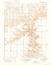
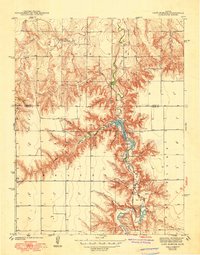
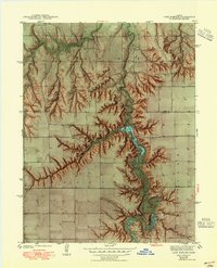
Other maps of this area

1939 · Lake Mc Bride
USGS Topo · 1:24,000

1939 · Sandon
USGS Topo · 1:62,500

1939 · Pence
USGS Topo · 1:62,500

1941 · Pence
USGS Topo · 1:62,500

1942 · Sandon
USGS Topo · 1:62,500

1942 · Lake Mc Bride
USGS Topo · 1:31,680

1955 · Scott City
USGS Topo · 1:250,000

1958 · Scott City
USGS Topo · 1:250,000

1974 · Elkader SW
USGS Topo · 1:24,000

1974 · Elkader
USGS Topo · 1:24,000