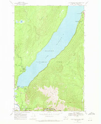
1968 Map of Lake Mc Donald West
USGS Topo · Published 1971About this map
Lake Mc Donald dominates this 1968 study, serving as the central geographic feature between the steep rises of Howe Ridge and Snyder Ridge. The map details the developed southern gateway of Glacier National Park, where the West Entrance Station leads travelers toward the Park Headquarters & Reservoir. This era shows a landscape managed for burgeoning mid-century tourism, evidenced by the clustered facilities at Apgar, including the Apgar Campground and Apgar Amphitheater.
Find a feature on this map
30 named features on this map. Tap any name to fly to it.
Don’t see what you’re looking for? This feature index may not catch every label — zoom into the map to look around manually.
Map Details
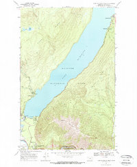
Editions of this 1968 Lake Mc Donald West Map
2 editions found
Other maps of this area

1904 · Chief Mountain
USGS Topo · 1:125,000

1906 · Kintla Lakes
USGS Topo · 1:125,000

1914 · Nyack
USGS Topo · 1:125,000

1938 · Chief Mountain
USGS Topo · 1:125,000

1938 · Kintla Lakes
USGS Topo · 1:125,000

1943 · Kalispell
USGS Topo · 1:125,000

1957 · Kalispell
USGS Topo · 1:250,000

1960 · Kalispell
USGS Topo · 1:250,000

1960 · Cut Bank
USGS Topo · 1:250,000

1961 · Kalispell
USGS Topo · 1:250,000