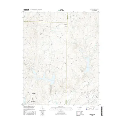
2016 Map of Lake Michie
USGS Topo · Published 2016About this map
Lake Michie and the winding Flat River dominate this modern topographic landscape at the meeting of Durham, Person, and Granville counties. The geography is defined by a dense network of water bodies, including Lake Butner, Hester Lake, and Brinkley Lake, alongside smaller tributaries like Knap of Reeds Cr and Picture Cr. These reservoirs serve as central features for the surrounding communities, which range from the northern fringes of Durham to the established grid of Butner in the southeast.
Find a feature on this map
101 named features on this map. Tap any name to fly to it.
Don’t see what you’re looking for? This feature index may not catch every label — zoom into the map to look around manually.
Map Details
Editions of this 2016 Lake Michie Map
This is the sole edition of this map. No revisions or reprints were ever made.
Other maps of this area

1943 · Roxboro
USGS Topo · 1:62,500

1943 · Creedmoor
USGS Topo · 1:62,500

1944 · Creedmoor
USGS Topo · 1:62,500

1951 · Durham North
USGS Topo · 1:62,500

1953 · Oxford
USGS Topo · 1:62,500

1953 · Greensboro
USGS Topo · 1:250,000

1954 · Greensboro
USGS Topo · 1:250,000

1962 · Greensboro
USGS Topo · 1:250,000

1966 · Greensboro
USGS Topo · 1:250,000

1966 · Oxford
USGS Topo · 1:62,500