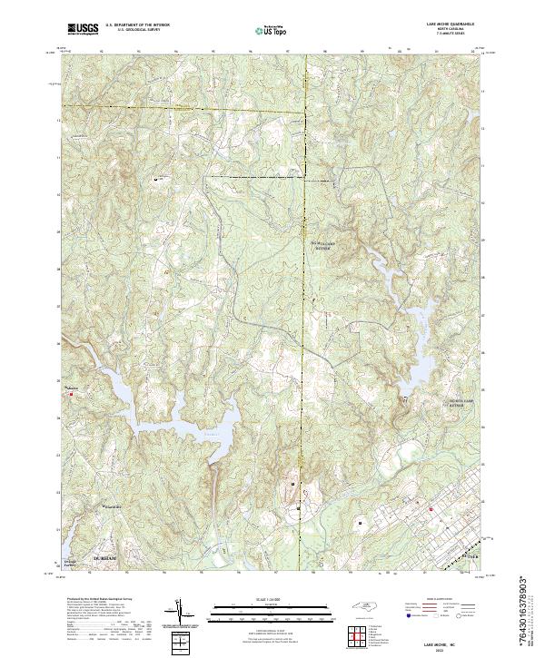
2022 Map of Lake Michie
USGS Topo · Published 2022About this map
Flat River and the expanding reservoir waters dominate this northern Piedmont landscape where the boundaries of Durham, Person, and Granville Counties meet. The map documents the rural character of communities like Bahama and Willardville, contrasting with the more industrial history of Orange Factory and the structured street grid of Butner to the southeast. Genealogists can locate family landmarks such as the Carrington Cem, while the intricate drainage network including Knap of Reeds Creek, Dial Cr, and Picture Cr defines the local topography. This survey shows the modern road system, including Little Mountain Rd and Rougemont Rd, laid over a landscape traditionally shaped by its river systems and small-scale settlements.
Find a feature on this map
98 named features on this map. Tap any name to fly to it.
Don’t see what you’re looking for? This feature index may not catch every label — zoom into the map to look around manually.
Map Details
Editions of this 2022 Lake Michie Map
This is the sole edition of this map. No revisions or reprints were ever made.
Historical Maps of Butner Through Time
10 maps found
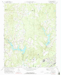
1977 Lake Michie
Granville County, NC
1977 Wilton
Granville County, NC
1978 Grissom
Granville County, NC
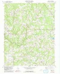
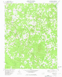
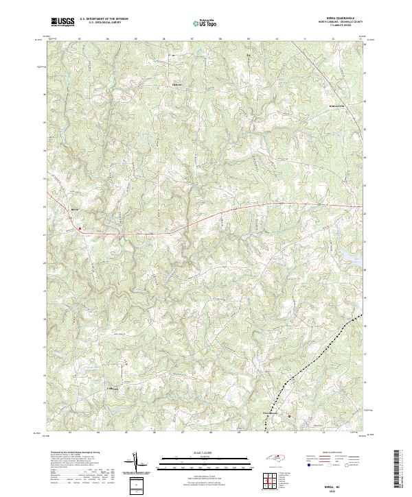
1981 Berea
Granville County, NC
1981 Satterwhite
Granville County, NC
2022 Berea
Granville County, NC
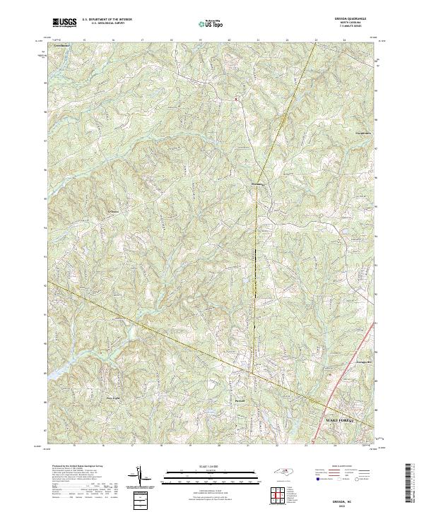
2022 Grissom
Granville County, NC
2022 Lake Michie
Granville County, NC
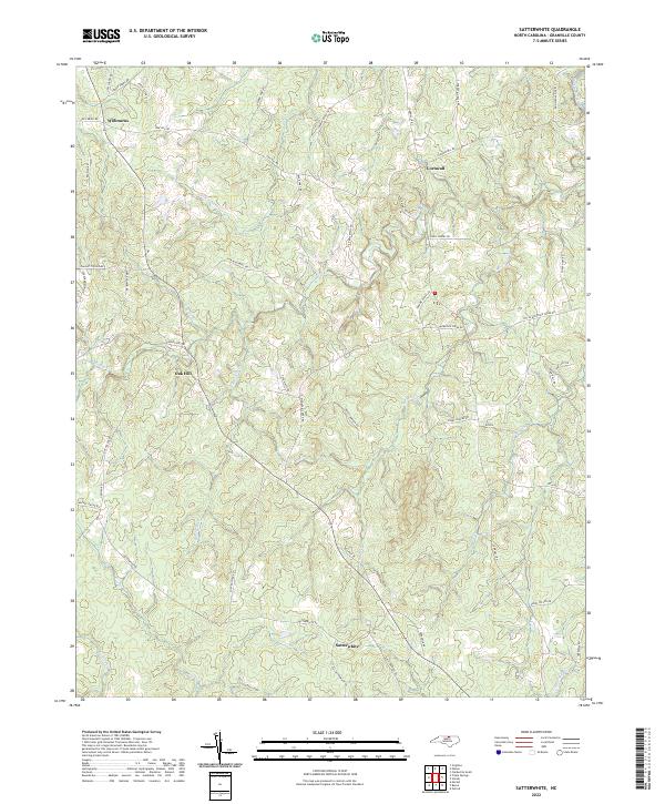
2022 Satterwhite
Granville County, NC
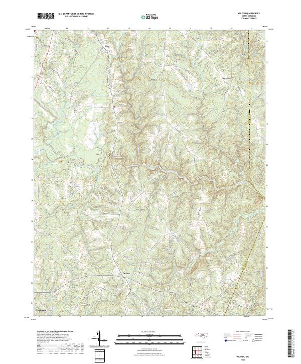
2022 Wilton
Granville County, NC