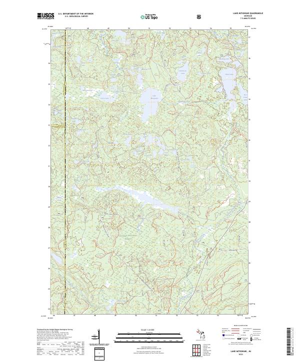
2023 Map of Lake Mitigwaki
USGS Topo · Published 2023About this map
The Ottawa National Forest dominates this northern Michigan landscape, characterized by a dense network of glacial lakes and forest service corridors. At its heart lies Lake Mitigwaki, the source of Mitigwaki Creek, which winds through the central terrain. This 2023 survey illustrates the complex hydrology of the region, featuring distinct water bodies such as the secluded Whisper Lake, the elongated Paint Lake, and Robinson Lake. The map reveals the intersection of three counties—Ontonagon, Gogebic, and Iron—near the western margin. Navigation through these timberlands is defined by primitive and forest routes, including Robinson Lake Rd and Federal Forest 3340 Rd, which provide access to remote areas like Fisher Lake and the wetlands around Buckeye Lake.
Find a feature on this map
62 named features on this map. Tap any name to fly to it.
Don’t see what you’re looking for? This feature index may not catch every label — zoom into the map to look around manually.
Map Details
Editions of this 2023 Lake Mitigwaki Map
This is the sole edition of this map. No revisions or reprints were ever made.
Other maps of this area

1938 · Phelps
USGS Topo · 1:48,000

1950 · Phelps
USGS Topo · 1:48,000

1952 · Watersmeet
USGS Topo · 1:62,500

1954 · Kenton
USGS Topo · 1:62,500

1956 · Beechwood
USGS Topo · 1:62,500

1956 · Phelps
USGS Topo · 1:62,500

1958 · Iron River
USGS Topo · 1:250,000

1960 · Iron River
USGS Topo · 1:250,000

1961 · Iron River
USGS Topo · 1:250,000

1967 · Iron River
USGS Topo · 1:250,000
Featured Places
- Stambaugh Township, MI
- Interior Township, MI
- Iron River Township, MI
- Watersmeet Township, MI
- Gogebic County, MI