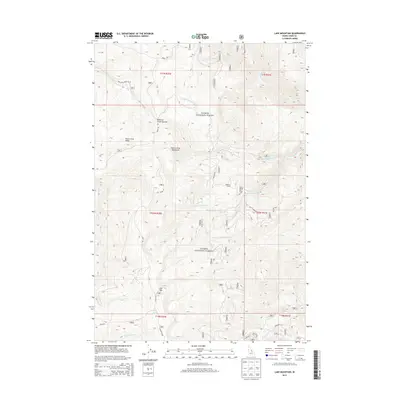
2013 Map of Lake Mountain
USGS Topo · Published 2013About this map
Peterson Ranch sits within a network of drainage basins in the high country of the Salmon River Mountains. This portion of the Salmon National Forest is defined by sharp elevation changes, anchored by the prominence of Lake Mtn and the topographic spine of Deep Creek Ridge. The landscape is a complex system of creek forks, including the North and South forks of Williams Creek, which carve deep canyons through the Lemhi County backcountry.
Find a feature on this map
25 named features on this map. Tap any name to fly to it.
Don’t see what you’re looking for? This feature index may not catch every label — zoom into the map to look around manually.
Map Details
Editions of this 2013 Lake Mountain Map
This is the sole edition of this map. No revisions or reprints were ever made.
Other maps of this area

1950 · Salmon
USGS Topo · 1:62,500

1950 · Leesburg
USGS Topo · 1:62,500

1951 · Leesburg
USGS Topo · 1:62,500

1951 · Salmon
USGS Topo · 1:62,500

1955 · Dubois
USGS Topo · 1:250,000

1955 · Dillon
USGS Topo · 1:250,000

1956 · Elk City
USGS Topo · 1:250,000

1957 · Dillon
USGS Topo · 1:250,000

1957 · Challis
USGS Topo · 1:250,000

1958 · Dubois
USGS Topo · 1:250,000