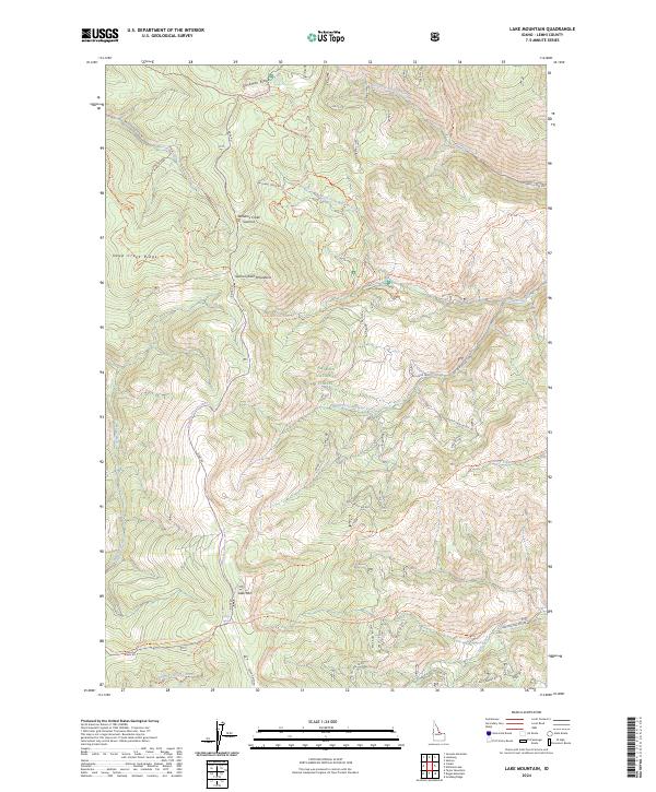
2024 Map of Lake Mountain
USGS Topo · Published 2024About this map
The Salmon River Mountains dominate this high-altitude terrain in the Salmon National Forest, characterized by a complex network of ridgelines and alpine drainage basins. The landscape is defined by significant elevations such as Lake Mtn and the prominent Deep Creek Ridge to the west. A critical piece of regional history is preserved here through the Thunder Mountain Historic Trl, which traverses the southern portion of the map, providing a tangible link to the era of remote mining expeditions.
Find a feature on this map
41 named features on this map. Tap any name to fly to it.
Don’t see what you’re looking for? This feature index may not catch every label — zoom into the map to look around manually.
Map Details
Editions of this 2024 Lake Mountain Map
This is the sole edition of this map. No revisions or reprints were ever made.
Other maps of this area

1950 · Salmon
USGS Topo · 1:62,500

1950 · Leesburg
USGS Topo · 1:62,500

1951 · Leesburg
USGS Topo · 1:62,500

1951 · Salmon
USGS Topo · 1:62,500

1955 · Dubois
USGS Topo · 1:250,000

1955 · Dillon
USGS Topo · 1:250,000

1956 · Elk City
USGS Topo · 1:250,000

1957 · Dillon
USGS Topo · 1:250,000

1957 · Challis
USGS Topo · 1:250,000

1958 · Dubois
USGS Topo · 1:250,000