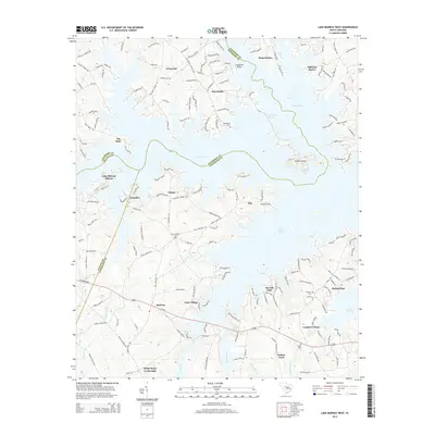
2014 Map of Lake Murray West
USGS Topo · Published 2014About this map
Lake Murray dominates this landscape, its intricate shoreline creating numerous inlets and points such as Dreher Island and Lominick Point. By 2014, the region reflects a mix of established lakeside communities like Snug Harbor, Macedonia, and Milmont Shores, alongside significant industrial and infrastructure markers including the Longview Plant and Shealy Airport.
Find a feature on this map
177 named features on this map. Tap any name to fly to it.
Don’t see what you’re looking for? This feature index may not catch every label — zoom into the map to look around manually.
Map Details
Editions of this 2014 Lake Murray West Map
This is the sole edition of this map. No revisions or reprints were ever made.
Other maps of this area

1904 · Columbia
USGS Topo · 1:125,000

1941 · Spartanburg
USGS Topo · 1:250,000

1944 · Gilbert
USGS Topo · 1:62,500

1953 · Spartanburg
USGS Topo · 1:250,000

1954 · Augusta
USGS Topo · 1:250,000

1957 · Augusta
USGS Topo · 1:250,000

1958 · Augusta
USGS Topo · 1:250,000

1960 · Spartanburg
USGS Topo · 1:250,000

1961 · Augusta
USGS Topo · 1:250,000

1962 · Augusta
USGS Topo · 1:250,000