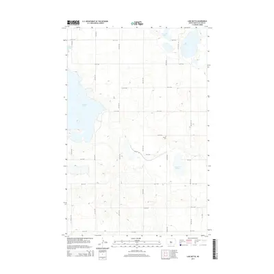
2014 Map of Lake Nettie
USGS Topo · Published 2014About this map
Lake Nettie and the eastern reaches of Audubon Lake define this prairie landscape in McLean County, where the topography is characterized by glacial depressions and significant water bodies. The terrain is organized by a strict section-line road grid, including 14th St NW and 27th Ave NW, which navigate the rises and falls between the lakes. A focal point for local history and genealogy is the Darling Cem, situated centrally near 10th St NW.
Find a feature on this map
23 named features on this map. Tap any name to fly to it.
Don’t see what you’re looking for? This feature index may not catch every label — zoom into the map to look around manually.
Map Details
Editions of this 2014 Lake Nettie Map
This is the sole edition of this map. No revisions or reprints were ever made.
Other maps of this area

1929 · Coleharbor
USGS Topo · 1:62,500

1947 · Turtle Lake
USGS Topo · 1:62,500

1949 · Turtle Creek
USGS Topo · 1:62,500

1949 · Washburn
USGS Topo · 1:62,500

1954 · McClusky
USGS Topo · 1:250,000

1958 · McClusky
USGS Topo · 1:250,000

1961 · Turtle Lake
USGS Topo · 1:24,000

1961 · Lake Nettie
USGS Topo · 1:24,000

1961 · Washburn NE
USGS Topo · 1:24,000

1961 · Turtle Creek NW
USGS Topo · 1:24,000