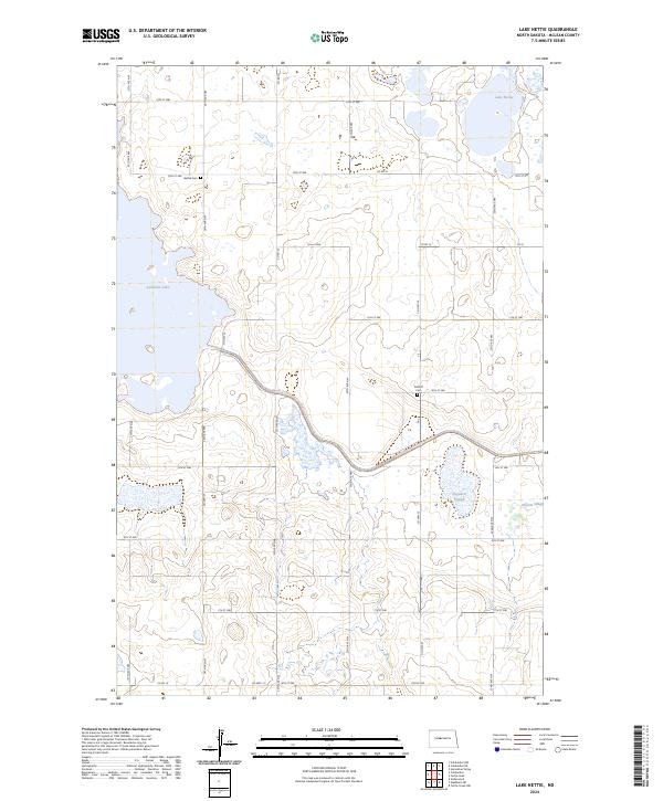
2024 Map of Lake Nettie
USGS Topo · Published 2024About this map
Audubon National Wildlife Refuge and Lake Nettie National Wildlife Refuge anchor this landscape of conservation in McLean County. The terrain is defined by a complex network of wetlands and prairie potholes, including Nygaard Slough and Hanson Slough, which are protected within the McLean County Waterfowl Production Area. This environment highlights the region's role as a critical habitat for migratory birds and local wildlife.
Find a feature on this map
26 named features on this map. Tap any name to fly to it.
Don’t see what you’re looking for? This feature index may not catch every label — zoom into the map to look around manually.
Map Details
Editions of this 2024 Lake Nettie Map
This is the sole edition of this map. No revisions or reprints were ever made.
Other maps of this area

1929 · Coleharbor
USGS Topo · 1:62,500

1947 · Turtle Lake
USGS Topo · 1:62,500

1949 · Turtle Creek
USGS Topo · 1:62,500

1949 · Washburn
USGS Topo · 1:62,500

1954 · McClusky
USGS Topo · 1:250,000

1958 · McClusky
USGS Topo · 1:250,000

1961 · Turtle Lake
USGS Topo · 1:24,000

1961 · Lake Nettie
USGS Topo · 1:24,000

1961 · Washburn NE
USGS Topo · 1:24,000

1961 · Turtle Creek NW
USGS Topo · 1:24,000