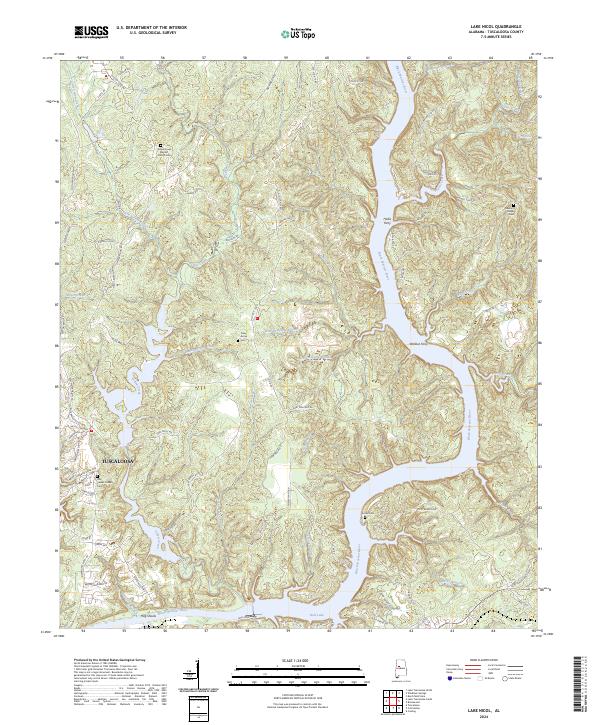
2024 Map of Lake Nicol
USGS Topo · Published 2024About this map
The Black Warrior River dominates this landscape north of Tuscaloosa, where the modern course of the river creates significant water bodies like Holt Lake. Historically, this section of the river was defined by traditional crossings and early navigation points, evidenced by the presence of Hollis Ferry and Wallace Ferry. These landmarks represent a time before extensive bridging, when river transit was the primary means of north-south movement across the county.
Find a feature on this map
90 named features on this map. Tap any name to fly to it.
Don’t see what you’re looking for? This feature index may not catch every label — zoom into the map to look around manually.
Map Details
Editions of this 2024 Lake Nicol Map
This is the sole edition of this map. No revisions or reprints were ever made.
Other maps of this area

1899 · Brookwood
USGS Topo · 1:125,000

1924 · Tuscaloosa
USGS Topo · 1:62,500

1926 · Samantha
USGS Topo · 1:48,000

1926 · Tuscaloosa
USGS Topo · 1:62,500

1928 · Samantha
USGS Topo · 1:62,500

1929 · Searles
USGS Topo · 1:48,000

1931 · Cottondale
USGS Topo · 1:48,000

1934 · Searles
USGS Topo · 1:62,500

1934 · Cottondale
USGS Topo · 1:62,500

1953 · Birmingham
USGS Topo · 1:250,000
Featured Places
- Tuscaloosa, AL
- Grand Arbor, Tuscaloosa
- Lakeridge, Tuscaloosa
- Lexington Downs, Tuscaloosa
- Northriver, Tuscaloosa