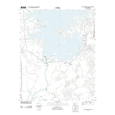
2011 Map of Lake Norman South
USGS Topo · Published 2011About this map
Lake Norman and the Catawba River define this landscape, illustrating the intricate shoreline created by modern water management in North Carolina. The map centers on the massive Cowans Ford Dam, a central piece of infrastructure that regulates the flow between the upper lake and Mountain Island Lake to the south. Along the banks, numerous marinas such as Ranger Island Marina, Outrigger Harbor, and Kings Point Marina signal the area's transition into a significant recreational hub.
Find a feature on this map
62 named features on this map. Tap any name to fly to it.
Don’t see what you’re looking for? This feature index may not catch every label — zoom into the map to look around manually.
Map Details
Editions of this 2011 Lake Norman South Map
This is the sole edition of this map. No revisions or reprints were ever made.
Other maps of this area

1893 · Statesville
USGS Topo · 1:125,000

1895 · Hickory
USGS Topo · 1:125,000

1914 · Gastonia
USGS Topo · 1:48,000

1916 · Gastonia
USGS Topo · 1:62,500

1941 · Charlotte
USGS Topo · 1:125,000

1942 · Charlotte
USGS Topo · 1:125,000

1948 · Paw Creek
USGS Topo · 1:24,000

1948 · Derita
USGS Topo · 1:24,000

1949 · Hicks Crossroads
USGS Topo · 1:24,000

1953 · Charlotte
USGS Topo · 1:250,000