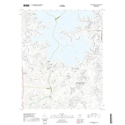
2019 Map of Lake Norman South
USGS Topo · Published 2019About this map
Lake Norman dominates this 2019 survey, serving as the central geographic feature where Lincoln and Mecklenburg counties meet. The map documents the extensive residential development and complex road networks that define modern communities like Huntersville, Cornelius, and Westport. Despite this contemporary growth, the landscape preserves several ancestral sites, including Bethel Church Cem and Torrence Chapel Cem.
Find a feature on this map
233 named features on this map. Tap any name to fly to it.
Don’t see what you’re looking for? This feature index may not catch every label — zoom into the map to look around manually.
Map Details
Editions of this 2019 Lake Norman South Map
This is the sole edition of this map. No revisions or reprints were ever made.
Other maps of this area

1893 · Statesville
USGS Topo · 1:125,000

1895 · Hickory
USGS Topo · 1:125,000

1914 · Gastonia
USGS Topo · 1:48,000

1916 · Gastonia
USGS Topo · 1:62,500

1941 · Charlotte
USGS Topo · 1:125,000

1942 · Charlotte
USGS Topo · 1:125,000

1948 · Paw Creek
USGS Topo · 1:24,000

1948 · Derita
USGS Topo · 1:24,000

1949 · Hicks Crossroads
USGS Topo · 1:24,000

1953 · Charlotte
USGS Topo · 1:250,000