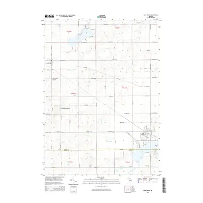
2014 Map of Lake Odessa
USGS Topo · Published 2014About this map
Lake Odessa sits at the eastern edge of this landscape where the border between Ionia and Barry counties cuts through Jordan Lake. This mid-2010s topographic survey illustrates a rural corridor defined by agriculture and water, with the village of Clarksville anchoring the northwest. The drainage patterns of Messer Brook, Duck Creek, and Bear Creek weave between sections of the Public Land Survey System, while larger water bodies like Morrison Lake and Duncan Lake provide focal points for local development. For genealogists, the map is particularly useful for locating smaller burial grounds such as Dunkard Cemetery and Cheney Cemetery situated away from the primary settlements. The transportation network is a mix of established routes like Nash Highway and historic paths such as the Clinton Trail, which cuts diagonally across the township grid.
Find a feature on this map
93 named features on this map. Tap any name to fly to it.
Don’t see what you’re looking for? This feature index may not catch every label — zoom into the map to look around manually.
Map Details
Editions of this 2014 Lake Odessa Map
This is the sole edition of this map. No revisions or reprints were ever made.
Other maps of this area

1916 · Ionia
USGS Topo · 1:62,500

1918 · Ionia
USGS Topo · 1:62,500

1918 · Lowell
USGS Topo · 1:62,500

1943 · Ionia
USGS Topo · 1:62,500

1943 · Lowell
USGS Topo · 1:62,500

1950 · Nashville
USGS Topo · 1:62,500

1951 · Nashville
USGS Topo · 1:62,500

1951 · Hastings
USGS Topo · 1:62,500

1958 · Grand Rapids
USGS Topo · 1:250,000

1961 · Grand Rapids
USGS Topo · 1:250,000