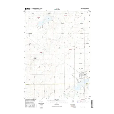
2017 Map of Lake Odessa
USGS Topo · Published 2017About this map
Lake Odessa and the surrounding agricultural townships of Ionia and Barry Counties define this 2017 landscape. Situated along the shore of Jordan Lake, the village of Lake Odessa serves as a local hub, while the smaller settlement of Clarksville anchors the northwest. The terrain is characterized by a dense network of local roads and water management features like Leary Drain, Kort Cr, and Messer Brook.
Find a feature on this map
54 named features on this map. Tap any name to fly to it.
Don’t see what you’re looking for? This feature index may not catch every label — zoom into the map to look around manually.
Map Details
Editions of this 2017 Lake Odessa Map
This is the sole edition of this map. No revisions or reprints were ever made.
Other maps of this area

1916 · Ionia
USGS Topo · 1:62,500

1918 · Ionia
USGS Topo · 1:62,500

1918 · Lowell
USGS Topo · 1:62,500

1943 · Ionia
USGS Topo · 1:62,500

1943 · Lowell
USGS Topo · 1:62,500

1950 · Nashville
USGS Topo · 1:62,500

1951 · Nashville
USGS Topo · 1:62,500

1951 · Hastings
USGS Topo · 1:62,500

1958 · Grand Rapids
USGS Topo · 1:250,000

1961 · Grand Rapids
USGS Topo · 1:250,000