
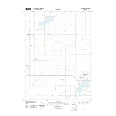
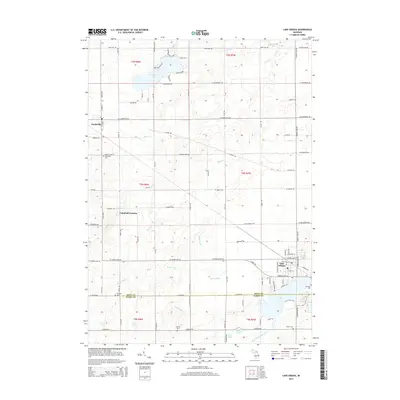
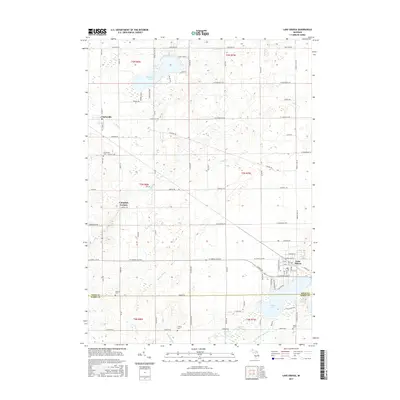
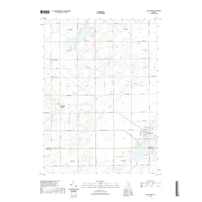
1978 Map of Lake Odessa
USGS Topo · Published 1979About this map
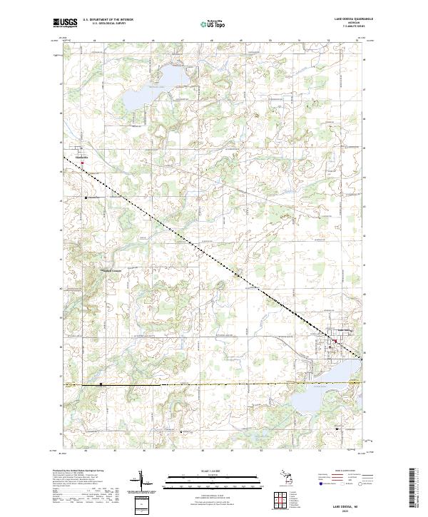
Lake Odessa anchors the southeastern corner of this landscape, situated along the northern shore of Jordan Lake. During the late 1970s, the village maintained a distinct grid near its public Fairground and Community Center, while the Chesapeake and Ohio railroad corridor provided a critical industrial spine through the center of the township. To the northwest, the village of Clarksville sits at the intersection of several key rural routes like Clarksville Road, serving as a secondary hub for the surrounding agricultural community.
Find a feature on this map
54 named features on this map. Tap any name to fly to it.
Don’t see what you’re looking for? This feature index may not catch every label — zoom into the map to look around manually.
Map Details
Editions of this 1978 Lake Odessa Map
This is the sole edition of this map. No revisions or reprints were ever made.
Historical Maps of Lake Odessa Through Time
6 maps found
Featured Locations
- Berlin Township, MI
- Odessa Township, MI
- Woodland Township, MI
- Clarksville, Campbell Township
- Lake Odessa, Odessa Township