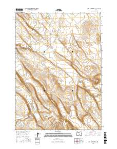
2017 Map of Lake on the Trail
USGS Topo · Published 2017About this map
Lake on the Trail defines the high-desert geography of this remote section of Harney County, appearing as a focal point for the surrounding terrain. The landscape is characterized by its intermittent drainage patterns and significant relief, most notably where the land drops away into Black Canyon in the eastern portion of the survey. Transportation through the area is limited to the winding path of Big Stick Rd, which follows the natural contours of the basin near the headwaters of Big Stick Cr. This 2017 record captures the precise Public Land Survey System boundaries across Townships 25, 26, and 27 South, illustrating the vast, unpopulated character of the Oregon outback where water sources and topography dictated the few routes established through the sagebrush and scrub.
Find a feature on this map
10 named features on this map. Tap any name to fly to it.
Don’t see what you’re looking for? This feature index may not catch every label — zoom into the map to look around manually.
Map Details
Editions of this 2017 Lake on the Trail Map
This is the sole edition of this map. No revisions or reprints were ever made.
Other maps of this area

1955 · Burns
USGS Topo · 1:250,000

1958 · Burns
USGS Topo · 1:250,000

1959 · Burns
USGS Topo · 1:250,000

1979 · Moon Reservoir
USGS Topo · 1:24,000

1980 · Capehart Lake
USGS Topo · 1:24,000

1980 · Lunch Lake
USGS Topo · 1:24,000

1980 · Squaw Butte
USGS Topo · 1:24,000

1980 · Iron Mtn. Flat
USGS Topo · 1:24,000

1980 · Alec Butte
USGS Topo · 1:24,000

1980 · Lake on The Trail
USGS Topo · 1:24,000