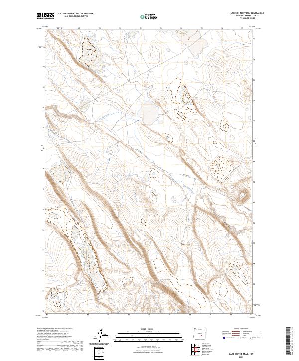
2023 Map of Lake on the Trail
USGS Topo · Published 2023About this map
Big Stick Creek meanders through this portion of Harney County, defining a landscape of high desert drainage and seasonal waterflow. The terrain is marked by significant topographical relief, notably at Black Canyon in the southeastern quadrant. This 2023 survey by the U.S. Geological Survey captures a region largely defined by the Public Land Survey System, showing the intersections of townships T25S, T26S, and T27S. The primary arterial route through this arid expanse is Big Stick Rd, which follows the natural contours of the ridges and basins. The map illustrates a contemporary view of the high plateau, where isolated wetlands and intermittent streams dictate the movement of both water and travel across the open range.
Find a feature on this map
9 named features on this map. Tap any name to fly to it.
Don’t see what you’re looking for? This feature index may not catch every label — zoom into the map to look around manually.
Map Details
Editions of this 2023 Lake on the Trail Map
This is the sole edition of this map. No revisions or reprints were ever made.
Other maps of this area

1955 · Burns
USGS Topo · 1:250,000

1958 · Burns
USGS Topo · 1:250,000

1959 · Burns
USGS Topo · 1:250,000

1979 · Moon Reservoir
USGS Topo · 1:24,000

1980 · Capehart Lake
USGS Topo · 1:24,000

1980 · Lunch Lake
USGS Topo · 1:24,000

1980 · Squaw Butte
USGS Topo · 1:24,000

1980 · Iron Mtn. Flat
USGS Topo · 1:24,000

1980 · Alec Butte
USGS Topo · 1:24,000

1980 · Lake on The Trail
USGS Topo · 1:24,000