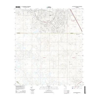
2015 Map of Lake Panasoffkee NW
USGS Topo · Published 2015About this map
Marion Oaks dominates the northern landscape of this Florida region, showcasing an intricate network of residential roads like Marion Oaks Blvd and Marion Oaks Mnr. This development contrasts sharply with the southern half of the map, which remains dominated by the wetlands and water systems of Gum Springs and Gum Slough. The topography transitions from the organized street grids of the north into the more natural drainage patterns of the south, where the border between Marion, Sumter, and Citrus counties meets. Transportation and infrastructure are represented by SE Highway 42 and the S & S Avion Ranch Airport, illustrating the modern connectivity of this interior Florida corridor during the mid-2010s.
Find a feature on this map
82 named features on this map. Tap any name to fly to it.
Don’t see what you’re looking for? This feature index may not catch every label — zoom into the map to look around manually.
Map Details
Editions of this 2015 Lake Panasoffkee NW Map
This is the sole edition of this map. No revisions or reprints were ever made.
Other maps of this area

1892 · Dunnellon
USGS Topo · 1:62,500

1893 · Panasoffkee
USGS Topo · 1:62,500

1894 · Dunnellon
USGS Topo · 1:62,500

1895 · Tsala Apopka
USGS Topo · 1:62,500

1895 · Panasoffkee
USGS Topo · 1:62,500

1895 · Ocala
USGS Topo · 1:62,500

1954 · Tsala Apopka NE
USGS Topo · 1:24,000

1954 · Inverness
USGS Topo · 1:24,000

1954 · Dunnellon SE
USGS Topo · 1:24,000

1954 · Inverness
USGS Topo · 1:62,500