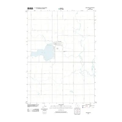
2010 Map of Lake Park
USGS Topo · Published 2010About this map
Silver Lake serves as the central anchor for this portion of Dickinson County, with the town of Lake Park situated along its northern and eastern shores. This 2010 survey illustrates a well-ordered agricultural landscape defined by a precise section-line road grid, including 110th St and 140th St. The town center is detailed with the Lake Park Post Office and a concentrated street plan including S Market St, while the Silver Lake Cemetery stands as a significant local landmark for genealogists. The hydrology of the region is notably complex, as the West Branch Little Sioux River and West Fork Little Sioux River meander through the prairie, eventually feeding into the Little Sioux River. Smaller drainages like Dugout Creek and Stony Creek cut through the fields, highlighting the natural drainage patterns of this Iowa lake country.
Find a feature on this map
27 named features on this map. Tap any name to fly to it.
Don’t see what you’re looking for? This feature index may not catch every label — zoom into the map to look around manually.
Map Details
Editions of this 2010 Lake Park Map
This is the sole edition of this map. No revisions or reprints were ever made.
Other maps of this area

1954 · Fairmont
USGS Topo · 1:250,000

1958 · Fairmont
USGS Topo · 1:250,000

1960 · Round Lake
USGS Topo · 1:24,000

1960 · Sioux Valley
USGS Topo · 1:24,000

1970 · Milford
USGS Topo · 1:24,000

1970 · Lakefield SW
USGS Topo · 1:24,000

1970 · Okoboji
USGS Topo · 1:24,000

1970 · Lake Park SE
USGS Topo · 1:24,000

1970 · May City
USGS Topo · 1:24,000

1970 · Harris
USGS Topo · 1:24,000