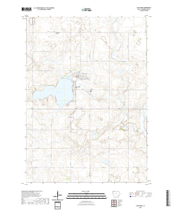
2022 Map of Lake Park
USGS Topo · Published 2022About this map
Silver Lake serves as the central focal point for this corner of Dickinson County, with the town of Lake Park situated along its northern and eastern shores. The local landscape is defined by the Coteau des Prairies, a high glacial plateau that influences the drainage patterns of several local waterways. To the north of the main lake body, Trappers Bay indents the shoreline near the residential grid of the town. The surrounding prairie is bisected by the W Br Little Sioux River and the West Fork Little Sioux River, which wander through the agricultural sections. Genealogical interest is centered on the Silver Lake Cem located just east of the primary settlement. The street layout of Lake Park, including E Railroad Ave, reflects the historical influence of transportation corridors on the town's development amidst a network of rural roads such as Co Hwy A18 and Ia 9.
Find a feature on this map
48 named features on this map. Tap any name to fly to it.
Don’t see what you’re looking for? This feature index may not catch every label — zoom into the map to look around manually.
Map Details
Editions of this 2022 Lake Park Map
This is the sole edition of this map. No revisions or reprints were ever made.
Other maps of this area

1954 · Fairmont
USGS Topo · 1:250,000

1958 · Fairmont
USGS Topo · 1:250,000

1960 · Round Lake
USGS Topo · 1:24,000

1960 · Sioux Valley
USGS Topo · 1:24,000

1970 · Milford
USGS Topo · 1:24,000

1970 · Lakefield SW
USGS Topo · 1:24,000

1970 · Okoboji
USGS Topo · 1:24,000

1970 · Lake Park SE
USGS Topo · 1:24,000

1970 · May City
USGS Topo · 1:24,000

1970 · Harris
USGS Topo · 1:24,000