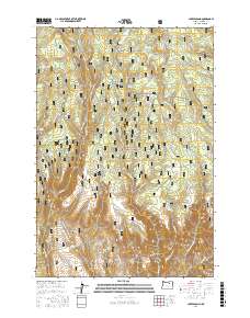
2017 Map of Lake Penland
USGS Topo · Published 2017About this map
Lake Penland sits at the northern edge of this high-altitude landscape within the Umatilla National Forest in Morrow County. The area is defined by a dense network of water sources and narrow drainages, including Wickiup Cr and Little Potamus Cr, which carve through the plateau. Historical land use is evidenced by the numerous named springs such as McAtee Spring, Elkhorn Spring, and Yoyo Spring, points often critical for livestock and early forest management.
Find a feature on this map
56 named features on this map. Tap any name to fly to it.
Don’t see what you’re looking for? This feature index may not catch every label — zoom into the map to look around manually.
Map Details
Editions of this 2017 Lake Penland Map
This is the sole edition of this map. No revisions or reprints were ever made.
Other maps of this area

1950 · Ritter
USGS Topo · 1:62,500

1951 · Monument
USGS Topo · 1:62,500

1952 · Ritter
USGS Topo · 1:62,500

1953 · Pendleton
USGS Topo · 1:250,000

1955 · Canyon City
USGS Topo · 1:250,000

1956 · Pendleton
USGS Topo · 1:250,000

1959 · Canyon City
USGS Topo · 1:250,000

1969 · Summerfield Ridge
USGS Topo · 1:24,000

1969 · Lake Penland
USGS Topo · 1:24,000

1969 · Thompson Flat
USGS Topo · 1:24,000