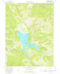
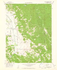
1967 Map of Lake Pillsbury
USGS Topo · Published 1980About this map
Lake Pillsbury and the Eel River valley are the central features of this mid-1960s survey within the Mendocino National Forest. The landscape is characterized by its recreational and utility infrastructure, anchored by Scott Dam and the nearby Gravelly Valley Airport. The map documents a period of established backcountry settlement and seasonal use, noting specific residential and livestock sites such as Lake Pillsbury Ranch, Faraway Ranch, and the Cabbage Patch.
Find a feature on this map
61 named features on this map. Tap any name to fly to it.
Don’t see what you’re looking for? This feature index may not catch every label — zoom into the map to look around manually.
Map Details
Editions of this 1967 Lake Pillsbury Map
4 editions found
Other maps of this area

1922 · Hullville
USGS Topo · 1:62,500

1929 · Eden Valley
USGS Topo · 1:62,500

1943 · Pomo
USGS Topo · 1:62,500

1951 · Lake Pillsbury
USGS Topo · 1:62,500

1952 · Hull Mountain
USGS Topo · 1:62,500

1952 · Eden Valley
USGS Topo · 1:62,500

1957 · Ukiah
USGS Topo · 1:250,000

1960 · Ukiah
USGS Topo · 1:250,000
1960 · Potter Valley
USGS Topo · 1:24,000

1960 · Potter Valley
USGS Topo · 1:62,500