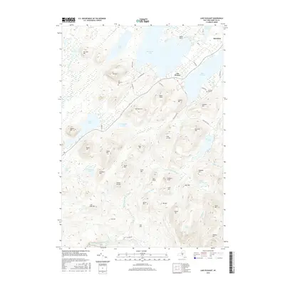
2016 Map of Lake Pleasant
USGS Topo · Published 2016About this map
Speculator and the town of Lake Pleasant anchor this high Adirondack landscape, where water and elevation define every property line and road. The area is dominated by large glacial lakes, including Sacandaga Lake and Lake Pleasant, which are fed by a complex system of waterways like Fall Stream and Sucker Brook. Local history is preserved at the Fish Mountain Cem and South Side Lake Cem, while the recreational character of the region is evident at Moffit Beach on the northern shore of the lake. The terrain is marked by distinct peaks such as Mt Francisco, Indian Head, and Lookout Mtn, interspersed with smaller ponds and wetlands like Dead Vly and Priests Vly. The road network, including Co RD 11 and Fish Mountain Rd, traces the lower elevations between the summits, providing access to the various lakefronts and interior highlands.
Find a feature on this map
71 named features on this map. Tap any name to fly to it.
Don’t see what you’re looking for? This feature index may not catch every label — zoom into the map to look around manually.
Map Details
Editions of this 2016 Lake Pleasant Map
This is the sole edition of this map. No revisions or reprints were ever made.
Other maps of this area

1899 · Indian Lake
USGS Topo · 1:62,500

1900 · Canada Lake
USGS Topo · 1:62,500

1902 · Indian Lake
USGS Topo · 1:62,500

1903 · West Canada Lakes
USGS Topo · 1:62,500

1904 · Piseco Lake
USGS Topo · 1:62,500

1906 · Piseco Lake
USGS Topo · 1:62,500

1907 · Lake Pleasant
USGS Topo · 1:62,500

1908 · Piseco Lake
USGS Topo · 1:62,500

1950 · Utica
USGS Topo · 1:250,000

1954 · Lake Pleasant
USGS Topo · 1:62,500