
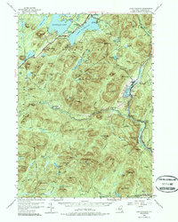
1954 Map of Lake Pleasant
USGS Topo · Published 1957About this map
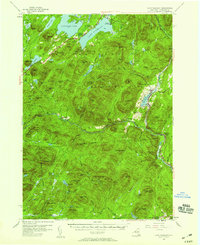
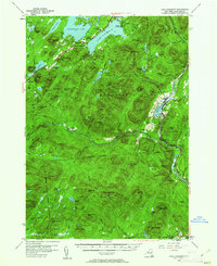
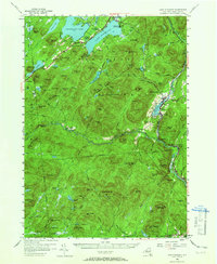
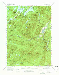
The Sacandaga Lake and Lake Pleasant region of the Adirondacks is documented here as it appeared in the mid-1950s, highlighting the area's dual character as a wilderness refuge and a growing seasonal destination. The village of Speculator serves as a primary hub, adjacent to Camp of the Woods and the Sacandaga Public Campsite. To the south and east, the landscape transitions into the steep terrain of the Silver Lake Wilderness, where remote structures like the Silver Lake Lean-to and Mud Lake Lean-to are noted along interior trails. Smaller settlements like Wells, situated on the shores of Lake Algonquin, and the hamlet of Whitehouse illustrate the dispersed nature of habitation in this era. The map also records essential community landmarks, including St Ann Ch and the Piseco Sch, providing a reliable geographic snapshot for genealogists tracking family ties to these Hamilton County townships.
Find a feature on this map
129 named features on this map. Tap any name to fly to it.
Don’t see what you’re looking for? This feature index may not catch every label — zoom into the map to look around manually.
Map Details
Editions of this 1954 Lake Pleasant Map
6 editions found
Other maps of this area

1898 · Thirteenth Lake
USGS Topo · 1:62,500

1899 · Indian Lake
USGS Topo · 1:62,500

1899 · Broadalbin
USGS Topo · 1:62,500

1900 · Canada Lake
USGS Topo · 1:62,500

1901 · Lassellsville
USGS Topo · 1:62,500

1902 · Broadalbin
USGS Topo · 1:62,500

1902 · Indian Lake
USGS Topo · 1:62,500

1903 · West Canada Lakes
USGS Topo · 1:62,500

1903 · Gloversville
USGS Topo · 1:62,500

1903 · Lassellsville
USGS Topo · 1:62,500