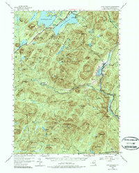
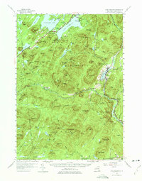
1954 Map of Lake Pleasant
USGS Topo · Published 1987About this map
Lake Pleasant and Sacandaga Lake serve as the geographic heart of this mid-century Adirondack survey, where the village of Speculator and the town of Lake Pleasant anchor the local community. The landscape is defined by the heavy drainage of the West Branch Sacandaga River and numerous mountain peaks, including Hamilton Mtn and Speculator Mtn. Local life is visible through institutions like Piseco Sch, St Ann Ch, and the South Side Lake Cem. Further south, the settlements of Benson and Upper Benson mark the transition toward more isolated terrain. The map records a time of established recreational use, noted by the Sacandaga Public Campsite and Camp of the Woods, while interior landmarks like Whitehouse and Gilmantown provide essential reference points for genealogists and local historians tracking the development of Hamilton County.
Find a feature on this map
100 named features on this map. Tap any name to fly to it.
Don’t see what you’re looking for? This feature index may not catch every label — zoom into the map to look around manually.
Map Details
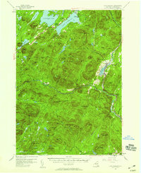
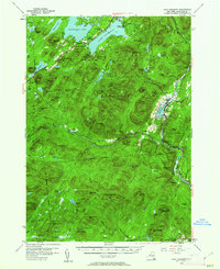
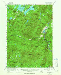
Editions of this 1954 Lake Pleasant Map
6 editions found

Other maps of this area

1898 · Thirteenth Lake
USGS Topo · 1:62,500

1899 · Indian Lake
USGS Topo · 1:62,500

1899 · Broadalbin
USGS Topo · 1:62,500

1900 · Canada Lake
USGS Topo · 1:62,500

1901 · Lassellsville
USGS Topo · 1:62,500

1902 · Broadalbin
USGS Topo · 1:62,500

1902 · Indian Lake
USGS Topo · 1:62,500

1903 · West Canada Lakes
USGS Topo · 1:62,500

1903 · Gloversville
USGS Topo · 1:62,500

1903 · Lassellsville
USGS Topo · 1:62,500