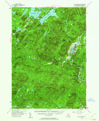
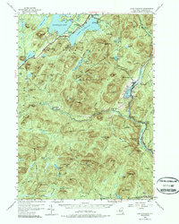
1954 Map of Lake Pleasant
USGS Topo · Published 1962About this map
Lake Pleasant and the village of Speculator anchor this mid-century survey of the central Adirondack wilderness. The landscape is defined by the extensive waters of Sacandaga Lake and the West Branch Sacandaga River, which flows through the isolated settlement at Whitehouse. Near the village of Wells, the impounded Lake Algonquin sits at the foot of Mt Overrocker, representing the era's recreational development with sites like the Sacandaga Public Campsite and Moffitt Beach. The map details a transition from established lakeside communities to the deep forest of the Adirondack State Park, where the North West Bay Trail and Hatch Brook Trail provide the only passage through the dense interior. Genealogists will find interest in localized landmarks such as the South Side Lake Cem and St Ann Ch, along with family-named peaks like Jacksons Seat and Wallace Mtn.
Find a feature on this map
116 named features on this map. Tap any name to fly to it.
Don’t see what you’re looking for? This feature index may not catch every label — zoom into the map to look around manually.
Map Details
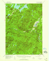
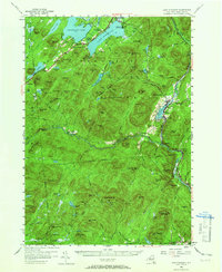
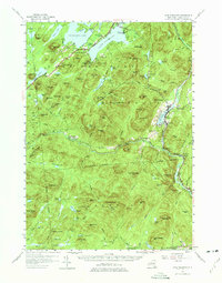
Editions of this 1954 Lake Pleasant Map
6 editions found

Other maps of this area

1898 · Thirteenth Lake
USGS Topo · 1:62,500

1899 · Indian Lake
USGS Topo · 1:62,500

1899 · Broadalbin
USGS Topo · 1:62,500

1900 · Canada Lake
USGS Topo · 1:62,500

1901 · Lassellsville
USGS Topo · 1:62,500

1902 · Broadalbin
USGS Topo · 1:62,500

1902 · Indian Lake
USGS Topo · 1:62,500

1903 · West Canada Lakes
USGS Topo · 1:62,500

1903 · Gloversville
USGS Topo · 1:62,500

1903 · Lassellsville
USGS Topo · 1:62,500