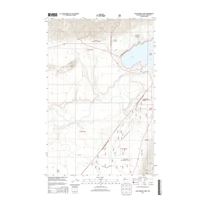
2014 Map of Lake Quinault West
USGS Topo · Published 2014About this map
Lake Quinault and the Quinault River form the focal point of this coastal Washington landscape, where the protected lands of Olympic National Park and the Olympic National Forest converge. The settlement of Neilton and the flat expanse of Chow Chow Prairie provide a glimpse into the local residential and agricultural pockets existing alongside these managed wilderness areas. Significant water systems, including Ten O'Clock Cr, Prairie Cr, and McCalla Cr, flow from the Olympic Mountains through a network of forest development roads.
Find a feature on this map
34 named features on this map. Tap any name to fly to it.
Don’t see what you’re looking for? This feature index may not catch every label — zoom into the map to look around manually.
Map Details
Editions of this 2014 Lake Quinault West Map
This is the sole edition of this map. No revisions or reprints were ever made.
Other maps of this area

1921 · Quinault Lake
USGS Topo · 1:62,500

1943 · Copalis Beach
USGS Topo · 1:250,000

1951 · Copalis Beach
USGS Topo · 1:250,000

1955 · Macafee Hill
USGS Topo · 1:62,500

1955 · Quinault Lake
USGS Topo · 1:62,500

1956 · Kloochman Rock
USGS Topo · 1:62,500

1956 · Salmon River
USGS Topo · 1:62,500

1957 · Copalis Beach
USGS Topo · 1:250,000

1958 · Seattle
USGS Topo · 1:250,000

1962 · Seattle
USGS Topo · 1:250,000