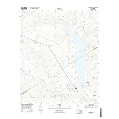
2017 Map of Lake Robinson
USGS Topo · Published 2017About this map
Lake Robinson dominates the eastern half of this landscape, a significant reservoir formed along the winding course of Black Cr. The surrounding terrain in the Sandhills region is defined by a dense network of small water bodies and millponds, including King Millpond, Hannah Pond, and the Beaverdam Millpond near the settlement of Clyde. This area, situated along the Chesterfield and Darlington county line, reflects a long-standing agricultural and milling tradition. The town of McBee sits at a major road junction in the northwest, serving as a hub for the various rural communities like Pine Ridge and New Market. For genealogists, the map identifies several local burial grounds such as Saint Pauls Cem, Antioch Cem, and Union Cem, providing clear spatial context for historical family sites located along secondary routes like W Old Camden Rd.
Find a feature on this map
117 named features on this map. Tap any name to fly to it.
Don’t see what you’re looking for? This feature index may not catch every label — zoom into the map to look around manually.
Map Details
Editions of this 2017 Lake Robinson Map
This is the sole edition of this map. No revisions or reprints were ever made.
Other maps of this area

1941 · Spartanburg
USGS Topo · 1:250,000

1953 · Spartanburg
USGS Topo · 1:250,000

1960 · Spartanburg
USGS Topo · 1:250,000

1963 · Spartanburg
USGS Topo · 1:250,000

1964 · Spartanburg
USGS Topo · 1:250,000

1967 · Angelus
USGS Topo · 1:24,000

1968 · Patrick
USGS Topo · 1:24,000

1968 · Middendorf
USGS Topo · 1:24,000
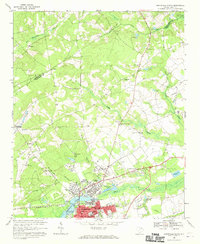
1968 · Hartsville North
USGS Topo · 1:24,000
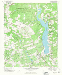
1968 · Lake Robinson
USGS Topo · 1:24,000