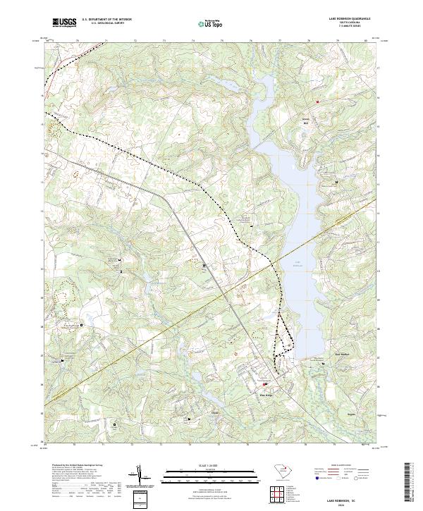
2024 Map of Lake Robinson
USGS Topo · Published 2024About this map
Lake Robinson dominates the eastern landscape of this South Carolina quadrangle, straddling the border between Chesterfield Co and Darlington Co. The area is defined by a dense concentration of historical burial grounds and family plots, reflecting generations of local lineage in communities like Pine Ridge, Clyde, and New Market. Notable genealogy sites include the Old King Family Cem, McLean Cem, and the Tabernacle United Methodist Church Cem.
Find a feature on this map
131 named features on this map. Tap any name to fly to it.
Don’t see what you’re looking for? This feature index may not catch every label — zoom into the map to look around manually.
Map Details
Editions of this 2024 Lake Robinson Map
This is the sole edition of this map. No revisions or reprints were ever made.
Other maps of this area

1941 · Spartanburg
USGS Topo · 1:250,000

1953 · Spartanburg
USGS Topo · 1:250,000

1960 · Spartanburg
USGS Topo · 1:250,000

1963 · Spartanburg
USGS Topo · 1:250,000

1964 · Spartanburg
USGS Topo · 1:250,000

1967 · Angelus
USGS Topo · 1:24,000

1968 · Patrick
USGS Topo · 1:24,000

1968 · Middendorf
USGS Topo · 1:24,000
1968 · Hartsville North
USGS Topo · 1:24,000
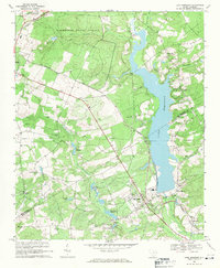
1968 · Lake Robinson
USGS Topo · 1:24,000