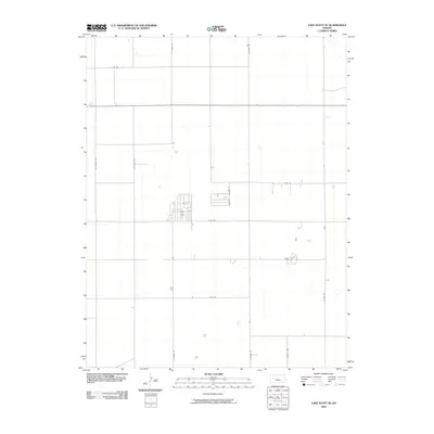
2009 Map of Lake Scott SE
USGS Topo · Published 2009About this map
The section lines of Scott County, Kansas, are defined by a strict geometric grid of rural roads in this early 21st-century survey. Named for indigenous peoples and Western themes, thoroughfares such as N Navaho Rd, N Omaha Rd, and N Pawnee Rd divide the High Plains landscape into expansive agricultural tracts. This network reflects the systematic land partitioning of the American West, where even modern routes like E Rd 240 and E Rd 180 follow the original township and range surveys. The area is characterized by low relief and widely dispersed farmsteads, with drainage and terrain features subordinated to the pervasive road matrix that includes N Rodeo Rd and N Taos Rd.
Find a feature on this map
11 named features on this map. Tap any name to fly to it.
Don’t see what you’re looking for? This feature index may not catch every label — zoom into the map to look around manually.
Map Details
Editions of this 2009 Lake Scott SE Map
This is the sole edition of this map. No revisions or reprints were ever made.
Other maps of this area

1939 · Lake Mc Bride
USGS Topo · 1:24,000

1939 · Sandon
USGS Topo · 1:62,500

1940 · Scott City
USGS Topo · 1:62,500

1942 · Sandon
USGS Topo · 1:62,500

1942 · Lake Mc Bride
USGS Topo · 1:31,680

1951 · Scott City
USGS Topo · 1:62,500

1955 · Scott City
USGS Topo · 1:250,000

1958 · Scott City
USGS Topo · 1:250,000

1974 · Healy NW
USGS Topo · 1:24,000

1974 · Grigston
USGS Topo · 1:24,000