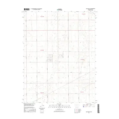
2015 Map of Lake Scott SE
USGS Topo · Published 2015About this map
W Salt Cr cuts through the northeastern corner of this western Kansas landscape, which is defined by its rigorous grid of rural section-line roads. This 2015 survey by the U.S. Geological Survey shows a network of named routes including N Navaho Rd, N Omaha Rd, and N Pawnee Rd that divide the High Plains terrain into predictable agricultural blocks. The map covers a transition between several townships, including t17s r32w and t17s r31w, illustrating the modern management of Scott County's open spaces. Small depressions and playa-like features are scattered across the landscape, while the road system, featuring identifiers like E Rd 200 and N Rodeo Rd, provides the primary structure for understanding local land divisions and property access in this sparsely populated region.
Find a feature on this map
19 named features on this map. Tap any name to fly to it.
Don’t see what you’re looking for? This feature index may not catch every label — zoom into the map to look around manually.
Map Details
Editions of this 2015 Lake Scott SE Map
This is the sole edition of this map. No revisions or reprints were ever made.
Other maps of this area

1939 · Lake Mc Bride
USGS Topo · 1:24,000

1939 · Sandon
USGS Topo · 1:62,500

1940 · Scott City
USGS Topo · 1:62,500

1942 · Sandon
USGS Topo · 1:62,500

1942 · Lake Mc Bride
USGS Topo · 1:31,680

1951 · Scott City
USGS Topo · 1:62,500

1955 · Scott City
USGS Topo · 1:250,000

1958 · Scott City
USGS Topo · 1:250,000

1974 · Healy NW
USGS Topo · 1:24,000

1974 · Grigston
USGS Topo · 1:24,000